
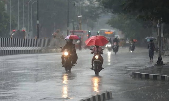
Tamil Nadu braces for two days of intense rain as low-pressure system develops

Heavy rainfall is expected across several parts of Tamil Nadu as a low-pressure system over the Southwest Bay of Bengal strengthens the ongoing northeast monsoon. The weather development follows overnight downpours that brought trees down and flooded low-lying neighbourhoods in Chennai and other areas.
The India Meteorological Department (IMD) reported that the low-pressure area formed at 5.30 am on October 21 under the influence of an upper-air cyclonic circulation off the Tamil Nadu coast. The system remained over the same region at 8.30 am, according to the Regional Meteorological Centre. Its associated circulation extends up to 5.8 km above mean sea level.
Thursday’s forecast points to heavy or very heavy rain at isolated locations, along with thunderstorms, lightning and gusty winds of 40–50 kmph in one or two places.
The districts on alert include Thoothukudi, Tirunelveli, Kanyakumari, Tenkasi, Virudhunagar, Ramanathapuram, Theni, Dindigul, Madurai, Coimbatore, the Nilgiris, Sivaganga, Pudukkottai, Thanjavur, Tiruvarur, Nagapattinam and Mayiladuthurai. Karaikal in Puducherry is also expected to experience intense rainfall.
Rainfall is likely to become widespread on Friday. The IMD has forecast isolated heavy to very heavy showers in Kanyakumari, the Nilgiris and Coimbatore districts, with thunderstorms, lightning and strong gusts possible at a few locations.
The latest system has developed while the northeast monsoon remains active over Tamil Nadu. A trough that previously extended from the cyclonic circulation near the Tamil Nadu coast towards north coastal Andhra Pradesh has since weakened.
Residents in vulnerable and low-lying areas are advised to follow official weather updates and take precautions against flooding, strong winds and waterlogging.