
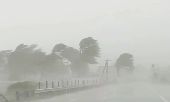
Cyclone Akvan: Tamil Nadu prepares for rain as Andhra coast remains in focus

A developing weather system over the southeast and adjoining southwest Bay of Bengal is expected to intensify into a Severe Cyclonic Storm by November 17, according to the India Meteorological Department (IMD).
The system, named Cyclone Akvan, is likely to bring rainfall to northern coastal districts of Tamil Nadu, Puducherry and Karaikal. Current projections indicate that it could move towards the Andhra Pradesh coastline around November 19.
The weather system initially developed as a low-pressure area over the southeast Bay of Bengal. It subsequently strengthened into a well-marked low-pressure area before developing into a depression.
In its November 15 morning update, the IMD confirmed the formation of a depression and said it was likely to travel north-northwestwards. The system is expected to intensify into a cyclonic storm over the central Bay of Bengal by Monday evening, followed by further strengthening into a severe cyclonic storm on November 17.
Although the cyclone’s eventual path remains important in determining its impact on Tamil Nadu, meteorologists say the state may need to wait another couple of days for a clearer picture.
If the system continues towards Andhra Pradesh, northern Tamil Nadu, including Chennai, could experience reduced rainfall. The cyclone may influence regional wind patterns by drawing winds from the Arabian Sea, potentially changing the direction of winds over Chennai and surrounding districts.
VR Durai, head of the Regional Meteorological Centre, said the developing system could alter local weather conditions and lead to relatively dry conditions in parts of northern Tamil Nadu.
He added that the cyclone’s movement and its likely influence on the state would become clearer by Monday.
For the time being, southern Tamil Nadu and the Western Ghats are expected to receive light to moderate rainfall through November 19. Chennai and neighbouring areas, meanwhile, may experience only occasional light showers.